


20-22 JULY 2026
Thiruvananthapuram, Kerala, India
In-Person
Technically Co-Sponsored by IEEE GRSS [Conference Record #72065]


About MIGARS
The Organising Committee of the fourth International conference on Machine Intelligence for GeoAnalytics and Remote Sensing (MIGARS), invites your cordial participation in this conference to be held in India, from 20 to 22 July 2026.
MIGARS 2026 explores the powerful intersection of machine intelligence approaches, spatial analytics, and remote sensing technologies. With the tremendous advancements in data acquisition and sensing platforms, data streams in remote sensing have become too large in volume, variety, and veracity. The challenge is handling, processing, automating, and transforming complex geo-data from various sources, such as multi-platform sensors and Internet-of-Things devices, into clear, actionable insights for decision-making and monitoring our planet.
At its heart, MIGARS is committed to fostering collaboration and exploring the potential use of intelligent computational approaches for geo-data-based solutions that serve society at large. Its fourth edition will bring together researchers, experts, and practitioners across various disciplines, including artificial intelligence, remote sensing, geosciences, climate change and environmental research, and many more, dedicated to advancing geospatial technologies and their applications.
Host & Venue: Jointly organized by Indian Institute of Space Science and Technology (IIST), Kerala, Digital University of Kerala and Vasavi College of Engineering, Hyderabad, The venue of this conference is Digital University of Kerala (DUK), Trivandrum, capital city of kerala (Gods' own country), India.
Looking forward to greeting you in Trivandrum.
Call for Papers
Submissions are invited on a comprehensive range of topics, reflecting the latest advancements and applications in the field, including (but not limited) to:
Author Guidelines
The final Conference Proceedings will be submitted for inclusion in IEEE Xplore, subject to meeting IEEE Xplore’s scope and quality requirements. Only those final papers for which at least one regular registration has been paid and the work has been presented at the conference (by the author, a co-author or at least a knowledgeable and qualified colleague) will be included. No-show papers are not to be published, per IEEE policy.
Publication of selected papers in IEEE Journals:
As has been practice of all previous MIGARS editions, outstanding papers will be invited to submit extended versions to appear in Special stream of IEEE GRSS journals.
Publication & Indexing
Preparation: Please use the provided templates (Word | Latex) for MIGARS 2026. They closely align with the more generic IEEE Manuscript Templates for Conference Proceedings. The templates include detailed formatting guidelines.
(Final) Manuscript: Two-columns, four (4) pages maximum (including figures, tables, bibliography, and any notes/appendices). This is a strict limit for accepted submissions.
AI GENERATED TEXT POLICY and IEEE GUIDELINES
MIGARS 2026 prohibites the submission of manuscripts generated by large-scale language models (LLMs) and similar artificial intelligence (AI) systems. Only light editing of the authors’ original text, limited to spelling and grammar corrections, is allowed.
Authors must comply with the guidelines on the use and disclosure of content generated by artificial intelligence (AI) specified in the IEEE Publication Services and Products Board Operations Manual:
The use of content generated by artificial intelligence (AI) in an article (including but not limited to text, figures, images, and code) shall be disclosed in the acknowledgments section of any article submitted to an IEEE publication. The AI system used shall be identified, and specific sections of the article that use AI-generated content shall be identified and accompanied by a brief explanation regarding the level at which the AI system was used to generate the content.
The use of AI systems for editing and grammar enhancement is common practice and, as such, is generally outside the intent of the above policy. In this case, disclosure as noted above is recommended.
Information or content contained in or about a manuscript under review shall not be processed through a public platform (directly or indirectly) for AI generation of text for a review. Doing so is considered a breach of confidentiality because AI systems generally learn from any input.
Multispectral & hyperspectral remote sensing
Microwave remote sensing
LiDAR remote sensing
UAV-based remote sensing
Mission, Sensors, and Calibration
Big data applications for geosciences
Geospatial data analytics
Statistical machine learning
Deep learning
Expert systems
Computational intelligence
Evolutionary computing
Climate informatics
Data analysis and spatial data visualisation
Temporal data analysis, prediction, time series analysis
Uncertainty quantification in geoscience and remote sensing
Monitoring and damage assessment of natural disasters and hazards
Applications for early warning, environmental monitoring and climate change
Applications for land, biodiversity and soil science
Applications for forestry and agriculture
Applications for water management, sea, oceans and atmosphere
Key Topics
Click here to submit:
We Welcome the authors with participation in three types of submissions:
1) Full paper (max 4 Pages),
2) Abstract (400 - 600 words) and
3) Recently Published Papers
Note:
1) Accepted and presented full papers will be indexed in the proceedings as per IEEE guidelines.
2)Abstracts shall be encouraged as oral presentations or posters. Abstracts will not be considered for publication and indexing.
3)Authors are invited to submit first page of published article of their recent publications in reputed Q1 based on current International Scientific Indexing (ISI) or Scientific Journal Ranking (SJR) published after January 1, 2025. Following the selection process, authors will be invited to present their paper at MIGARS.
Best Paper Awards:
Best paper awards will be preseted for the outstanding papers.
1) MIGARS Young Researcher Award: This award recognizes a researcher who is within 10 years of receiving their Master’s degree, Ph.D., or highest equivalent terminal degree, for sustained and impactful research contributions in the areas of Remote Sensing and Machine Learning. The award includes a citation and a cash prize.
2) Best Paper Awards will be presented to the best 3 oral and poster presentations in each category of the technical sessions to be organized based on the submissions in various themes of the conference.

Important Dates
Submission Deadline
Submission Opens
5 February 2026
Notification of Acceptance
15 April 2026
MIGARS 2026
20-22 July 2026
30 May 2026
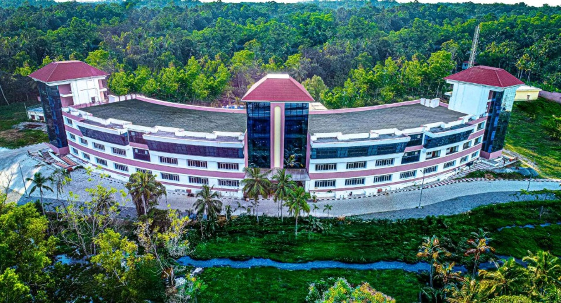
Venue
Digital University Kerala
Technopark Phase IV
Pallipuram
Thiruvananthapuram
Kerala – 695317
Take a look at the previous MIGARS Editions:
MIGARS 2025, 2024 and 2023 Proceedings are available on


© MIGARS2026. All rights reserved
MIGARS 2026
Date: 20-22 July 2026
Location: Trivandrum
Venue: Digital University Kerala, Trivandrum, Kerala, India
Contacts
info@migars2026.org
papers@migars2026.org
Whatsapp No. +91 9491309900 , +91 9381228975